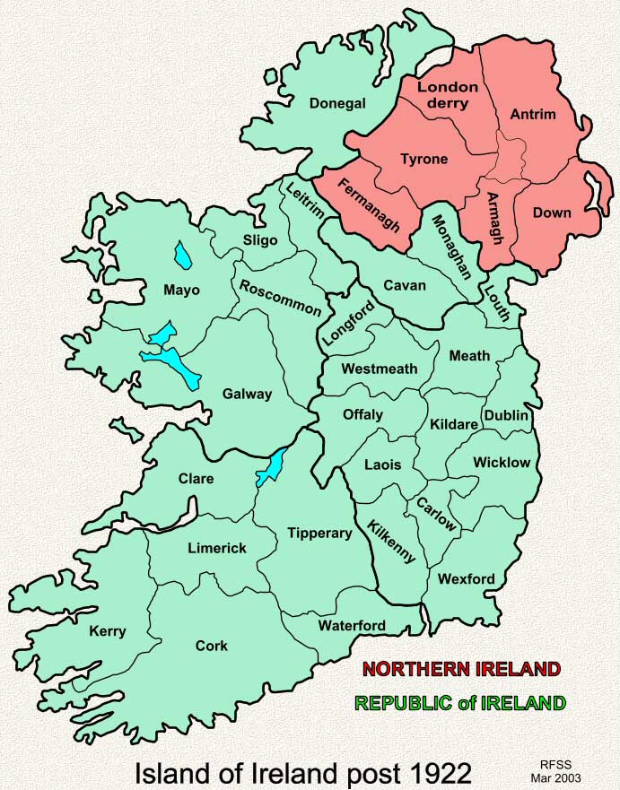
This
map shows the 6 counties in Northern Ireland and the 26 counties in
the Republic of Ireland after partition in 1922. The Republic was originally
know as the Irish Free State and then as Eire.
These
maps are intended SOLELY for the non-commercial use of family history
research.
|
| Back | Map Index | Home |
|
This site is completely FREE but it does need money for upkeep. If you would like to contribute then please click on the Donate button. Thank you for your support. |
| E-mail Sinton Family Trees |