| MAP 18
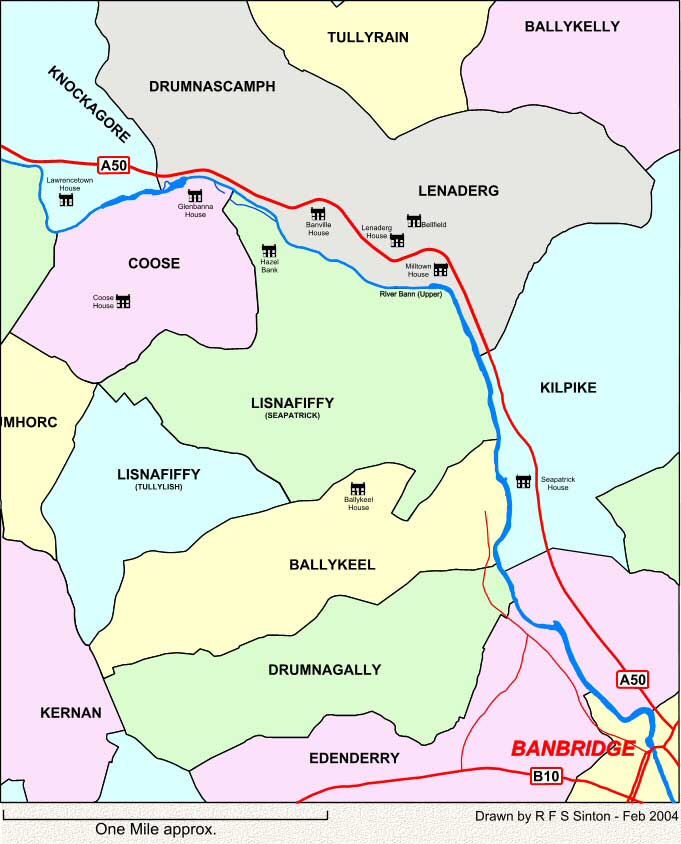
This map shows the townlands to the north-west of Banbridge, Co. Down. These maps are intended SOLELY for the non-commercial use of family history research. |
| 18 | ||
| Back | Map Index | Home |
|
This site is completely FREE but it does need money for upkeep. If you would like to contribute then please click on the Donate button. Thank you for your support. |
| E-mail Sinton Family Trees |